
This news
To follow our news:
SWOT Compiles the First Global Map of River Flow Seen from Space
Scientific teams at NASA and CNES have recently published the first-ever global estimate of river discharge and suspended sediments as observed from space.
Thanks to data from the SWOT (Surface Water and Ocean Topography) satellite, it is now possible to estimate river discharge (i.e. the volume of water flowing per second at a given point along the river) and sediment concentration for all rivers over 50 metres wide, anywhere in the world.
This information opens up major applications ranging from sustainable freshwater management over flood prediction to agricultural yields forecasting.
Watch the map (©️NASA/JPL/Umass).
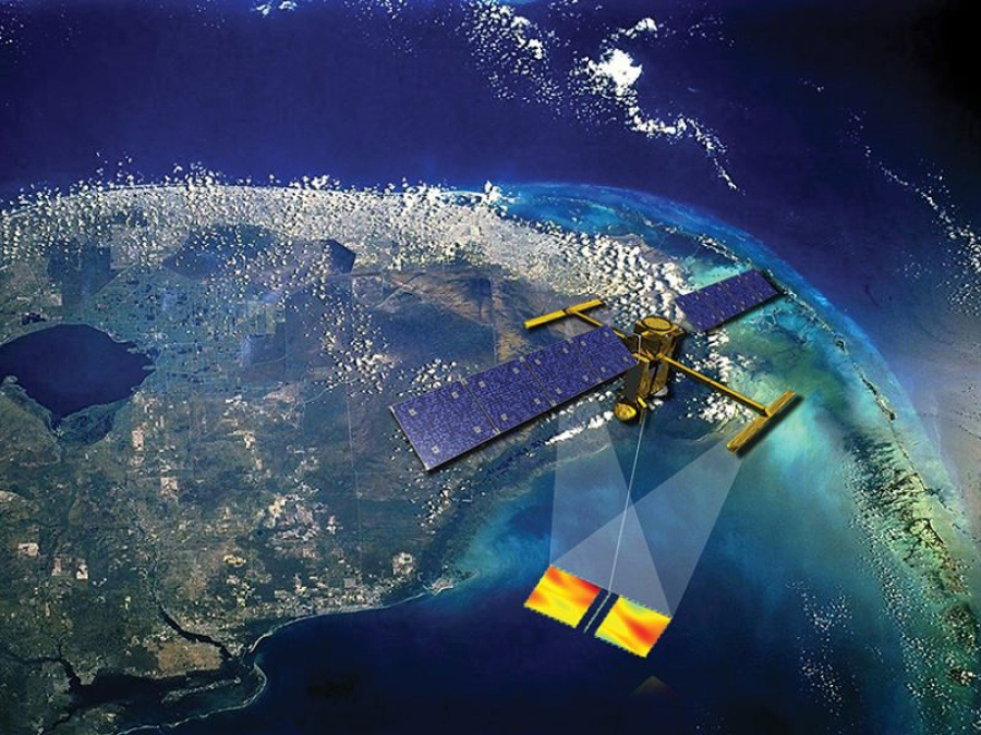
Launched in December 2022 and jointly built by NASA and the French Space Agency CNES, with contributions from the Canadian Space Agency (CSA) and the UK Space Agency, SWOT will provide a global inventory of all terrestrial water bodies - oceans, rivers, lakes, reservoirs and wetlands - in terms of level and flow in general and dynamics of oceans and seas in particular.
With this recent release, the mission thus continues to transform our understanding of the global water cycle. A major step forward in preserving our most precious resource thanks to space technology !
SPACEBEL has supplied simulation software for this international water surveyor:
- Equipment and instrument simulation models;
- Training Operations and Maintenance Simulator (TOMS);
- Visualisation Tool for Space Data (VTS), a satellite simulation toolkit used to animate satellites in 2D or 3D environments.
©CNES